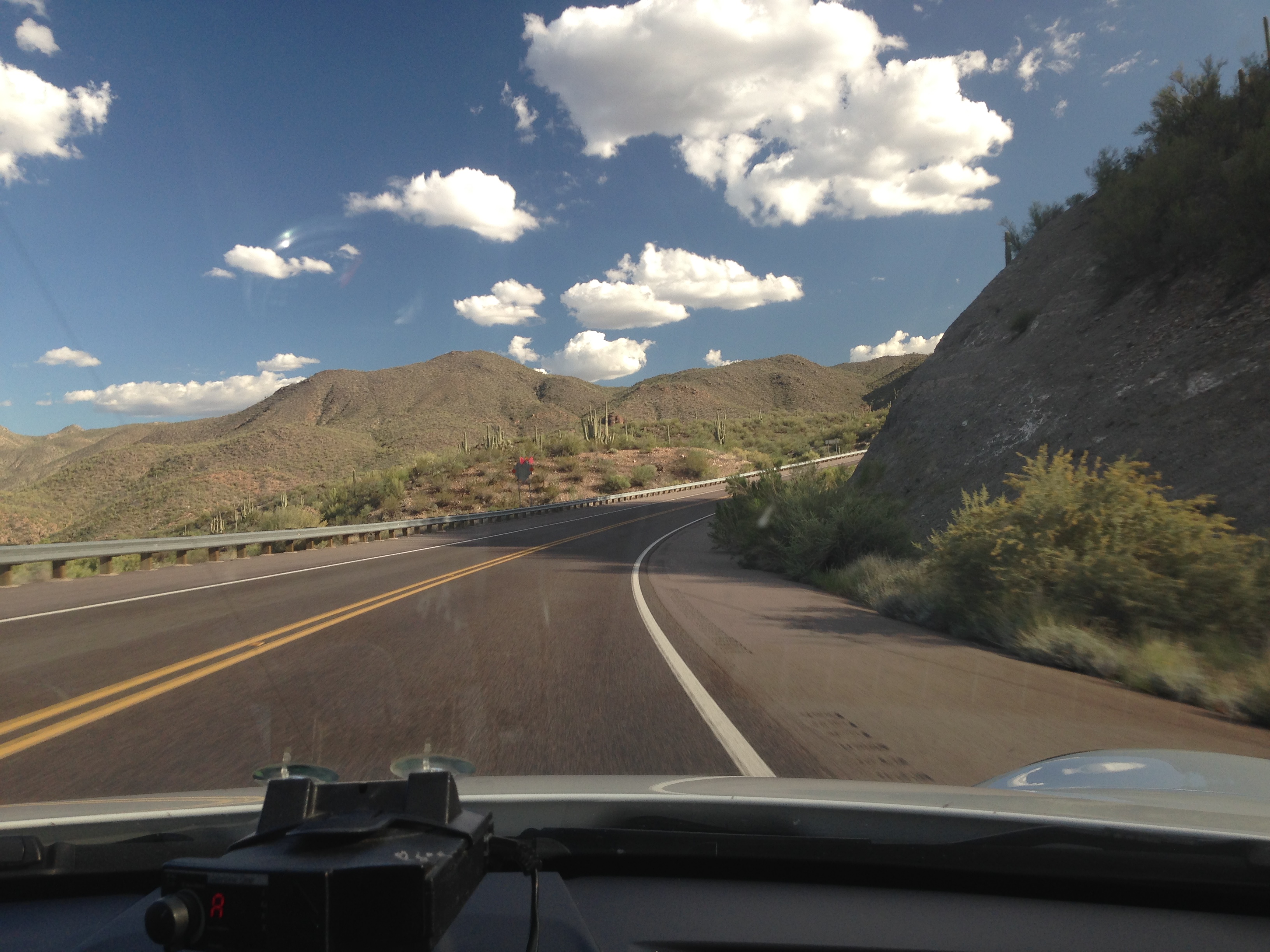
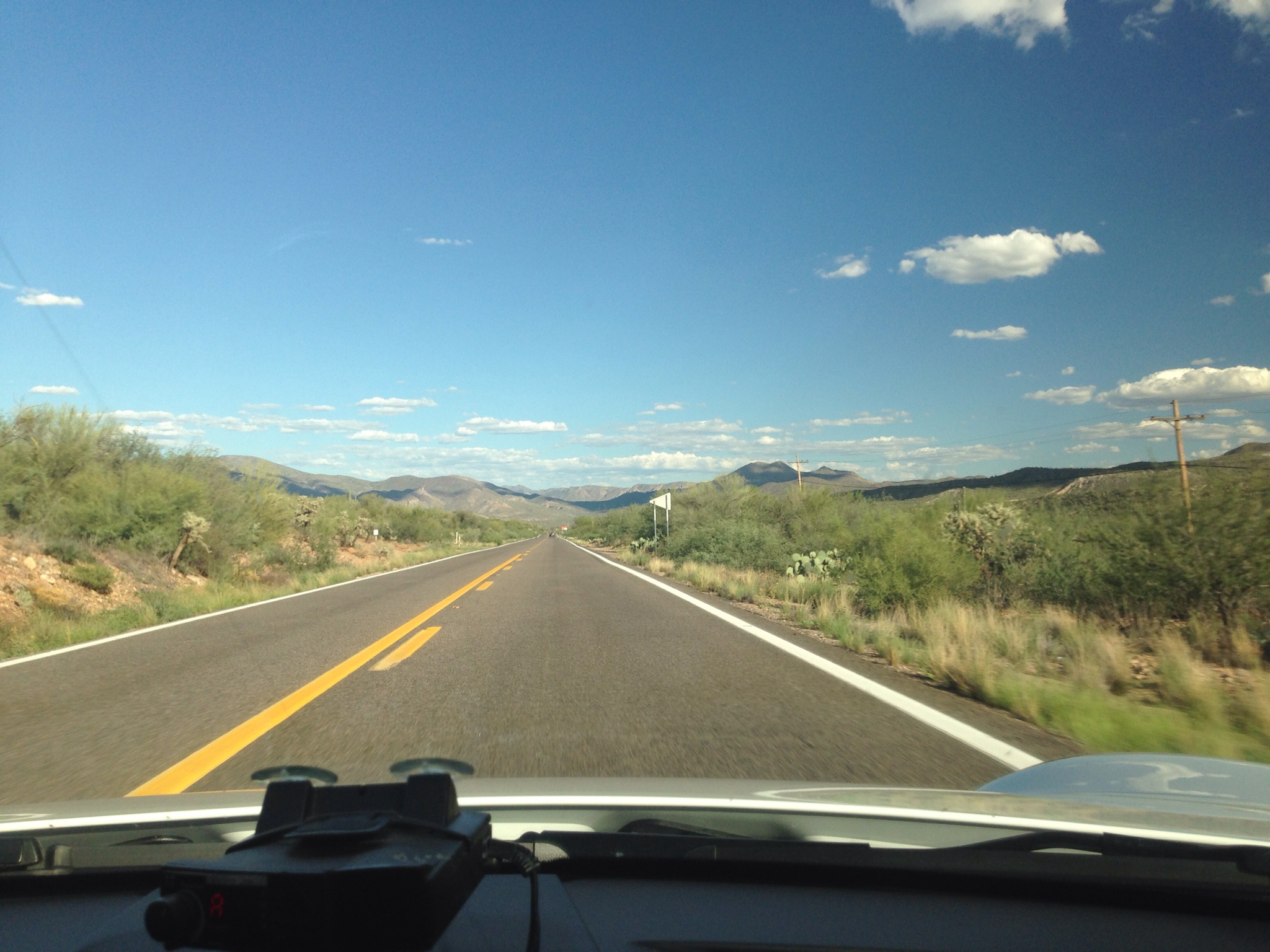
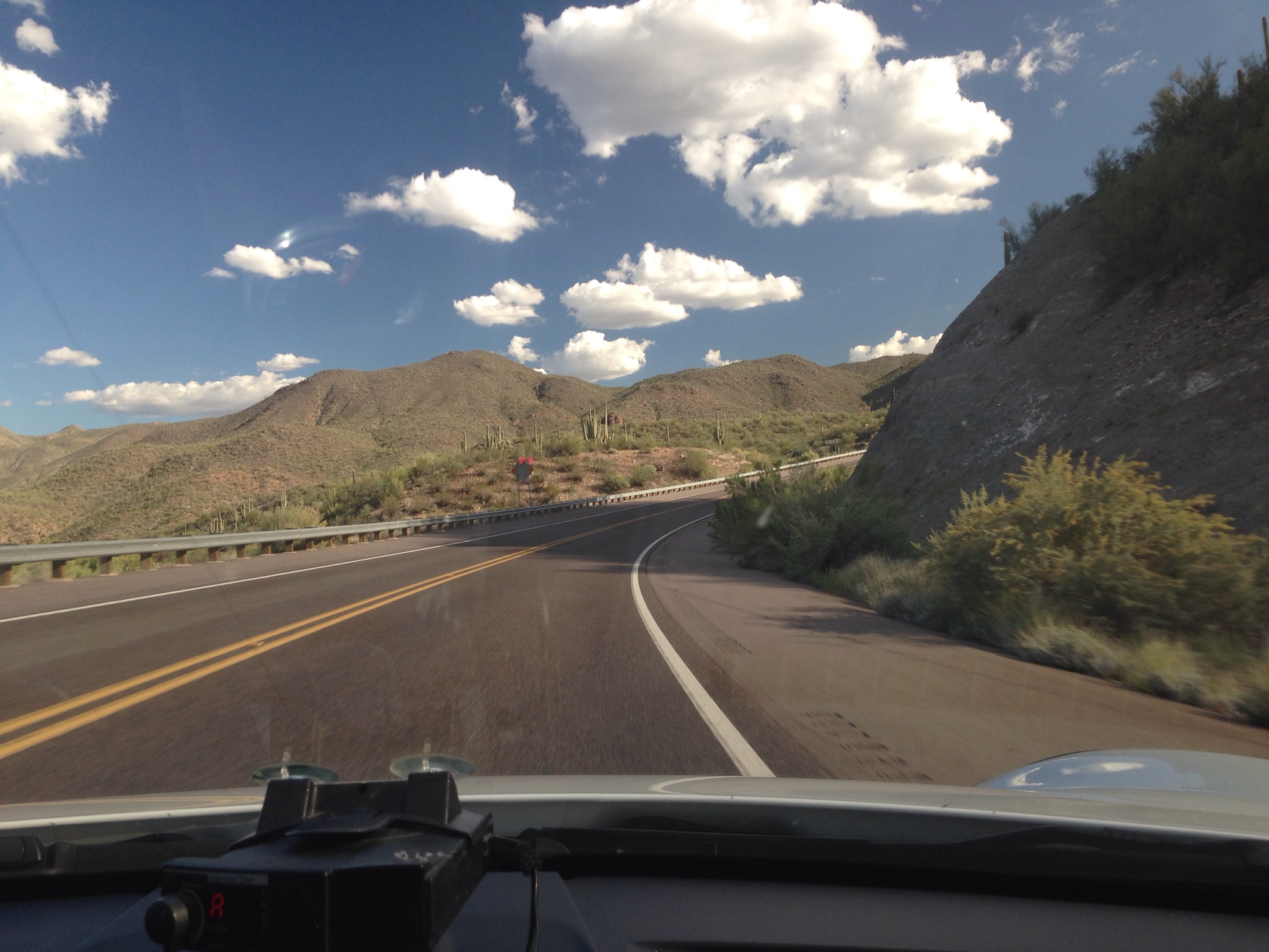
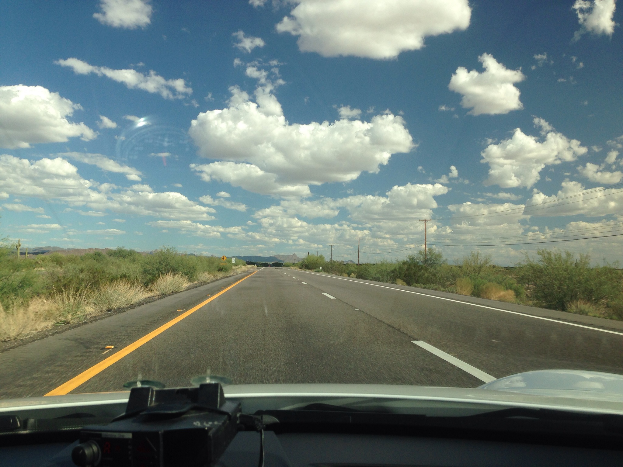
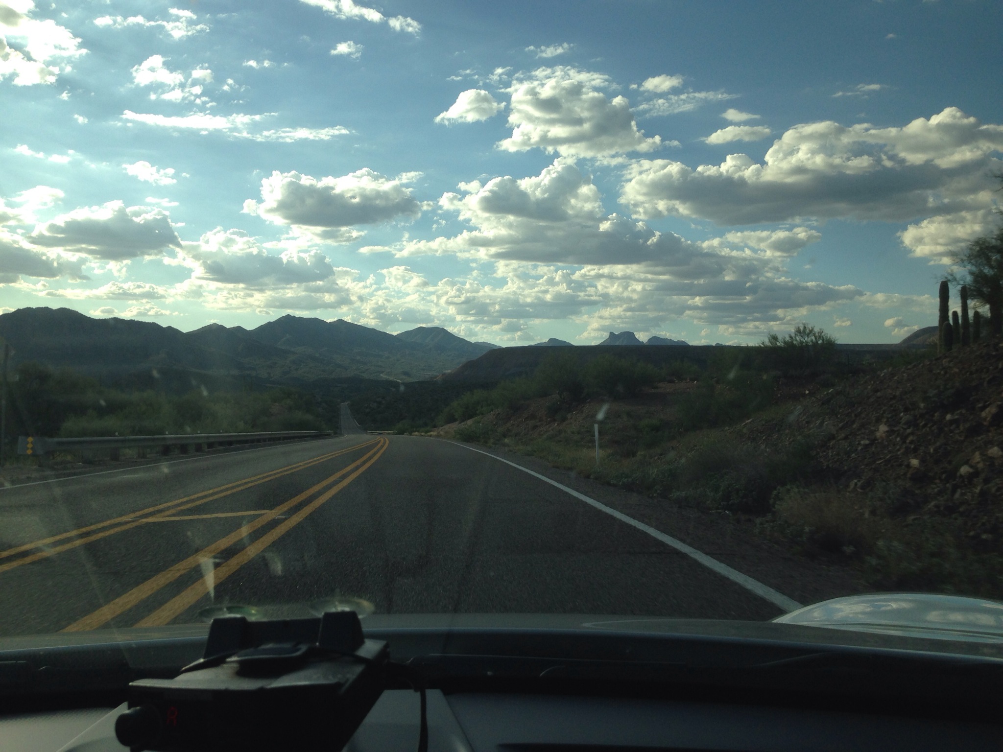
Looking to get out and go for a drive? There are a ton of great roads right outside the metropolitan Phoenix area. Sometimes you need a breathe of fresh air or a change of scenery and that is closer than you know! For those of you in Arizona looking to take a fun run with some friends or on a solo mission like I did, get a full tank of gas, grab a water bottle, and head East!
I use this iPhone app a lot for dirt bike trails called MotionX GPS. It gives you everything you need and you can download it free. So if you check out the map or coordinates, its pretty easy to follow. Since these are public highways, you can’t really get lost. This drive can be done in either direction and is a great time. You might recognize some of it from when we took a helicopter on our Poker Run and chased down the Noble M400 on these roads. So head out East on the US60 all the way till you get to Superior. Continue through Superior and up the hill and through the one tunnel. Go ahead and make some noise. The twisty climb is fun as you come up top and get to rip more on the 2 and 3 lane highway till you reach Miami. Nope wrong Miami, this is the start of the old mining towns. Go slow through Miami and Globe as the cops love to give a good ticket. Once you get through old town Globe and go up the last hill, you will pass a Mcdonalds on the right. This is typically the left turn you take to go even further into Eastern Arizona and the Salt River Canyon for more cool roads.
This time we are going to go straight past the McD’s and in about 2 miles come up to the right hander towards Winkleman. Cruise this 2 lane puppy of twists, up and down, through some much needed greenery. You will eventually reach a right hand turn after about 30-45 minutes to Winkleman and continues on to Kearny (we did a runway photoshoot here). These 2 lane roads have a bit more traffic, but rare and plenty of places to pass, especially with 550 horsepower! After you pass Kearny, there is a downhill left hander that then swings right with some railroad tracks. SLOW DOWN when you go over these or you will be scraping things you did not know you had. Keep on accelerating after that pass the cooper mines and enjoy some of the blind hills which will test your need to brake tap or not. My favorite sweeping left hander is ahead (might recognize this from our 997.2 Turbo S video shown at 0:45) where the turn has enough camber in it to let you gas through the turn. Eventually you come up to the end in Superior and turn left to head back to town.
Thats it! Drive safe, respect others, and stay tuned for some more Vivid Racing road journeys!
| Name: | Eastern Drive Loop | |
| Date: | Aug 24, 2014 3:24 pm | |
| Map: (valid until Feb 21, 2015) | View on Map | |
| Distance: | 134.5 miles | |
| Elapsed Time: | 2:04:51 | |
| Avg Speed: | 64.6 mph | |
| Max Speed: | 105.3 mph | |
| Avg Pace: | 0′ 55″ per mile | |
| Min Altitude: | 1,272 ft | |
| Max Altitude: | 4,931 ft | |
| Start Time: | 2014-08-24T22:24:16Z | |
| Start Location: | ||
| Latitude: | 33º 23′ 09″ N | |
| Longitude: | 111º 45′ 13″ W | |
| End Location: | ||
| Latitude: | 33º 17′ 21″ N | |
| Longitude: | 111º 06′ 01″ W | |


